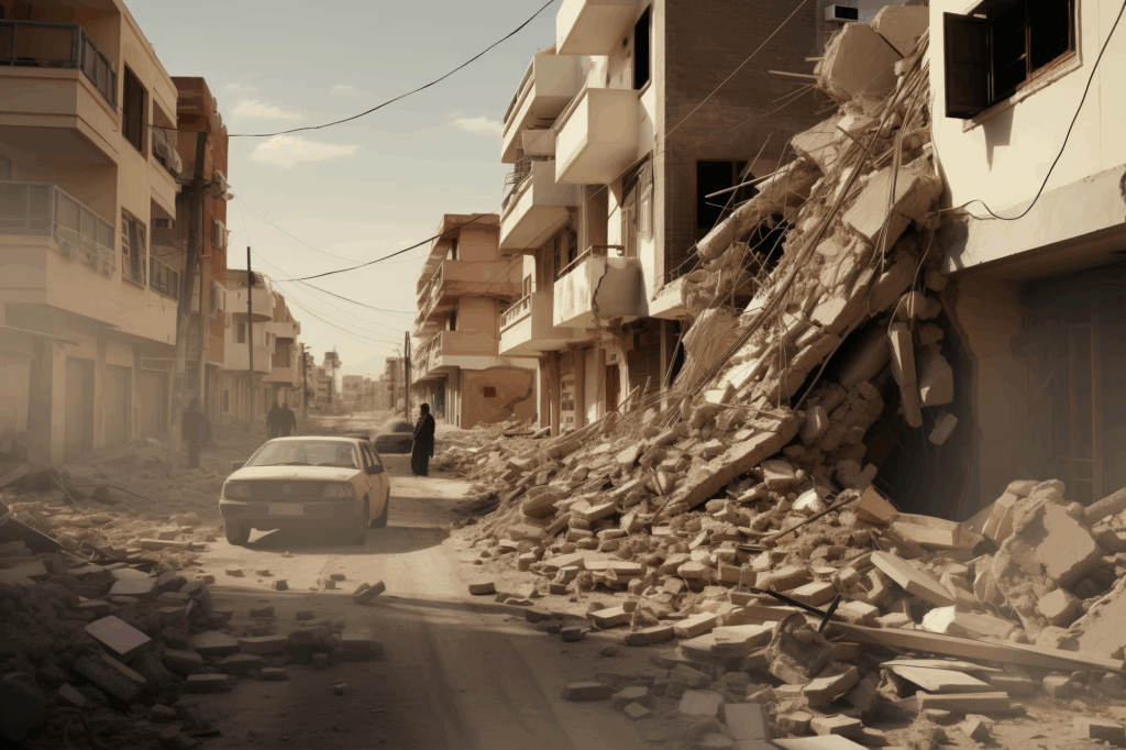
Scientists warn that a huge earthquake that might submerge parts of the United States is due along a 700-mile-long fault line that runs down the West Coast.
According to new research, coastal land would sink up to 6.5 feet within 30 minutes of a big tremor if sea levels rose and an earthquake of magnitude 8.0 or greater occurred along the Cascadia Subduction Zone.
To determine the possible range of earthquake-driven subsidence, or sinking ground, that could be anticipated from the next major Cascadia earthquake, the team created tens of thousands of earthquake models.
They concluded that the region’s densely populated southern Washington, northern Oregon, and northern California will be the most severely affected.

The coastal floodplain, which has a 1% annual possibility of flooding, would grow significantly from 35 to 116 square miles as a result of this occurrence.
The researchers calculate that an additional 14,350 people, 22,500 buildings, and 777 miles of roads would be within the post-shock floodplain if such an earthquake occurred today, more than doubling the area’s vulnerability to flooding.
An earthquake of magnitude 8.0 or higher has historically occurred in the Cascadia Subduction Zone every 400–600 years; the most recent one occurred in 1700.
This implies that the’sleeping giant’ is about to have another significant event.
The researchers concluded that a massive Cascadia earthquake would be triggered by sea level rise brought on by climate change, which would ‘amplify’ the land sinking.
By 2100, sea levels along this subduction zone may rise by up to three feet, according to the Intergovernmental Panel on Climate Change (IPCC).
“Today, and more so in 2100 as background sea levels rise, the immediate effect of earthquake-driven subsidence will be a delay in response and recovery from the earthquake due to compromised asset,” said Tina Dura, lead researcher and assistant professor of geosciences at Virginia Tech, in a statement.
“Long-term effects could render many coastal communities uninhabitable,” she added.
Dura and her colleagues first developed a number of models to evaluate the Cascadia’s capacity to induce ground sinking caused by earthquakes, and then they employed geospatial analysis to estimate the floodplain’s growth.
This method measures the potential effects of events like earthquakes or climate change on land, water, or cities using maps and location data.
The researchers used it in this instance to determine how much more land would be susceptible to floods following a significant earthquake in Cascadia.
The scientists simulated the effects of two distinct scenarios—an earthquake occurring now and in 2100—because they are unable to predict when the next significant earthquake will occur.
Flood exposure would quadruple if the earthquake occurred today, increasing the risk of flooding for hundreds of miles of roads, thousands of residents, and buildings.
However, this incident would also impact five airports, eight wastewater treatment plants, one electric substation, eighteen vital facilities like schools, hospitals, and police stations, and 57 possible sources of contamination, such as solid waste facilities, petrol stations, and animal feeding operations.
A major earthquake in Cascadia by 2100 would increase the floodplain by up to 142 square miles and triple the risk of flooding in impacted West Coast areas.
According to the researchers, damage to farms will cause “heavy economic loss” in both the current and future impact scenarios because salt from the ocean water contaminated the soils, making them “unusable.”
Ecosystems would also suffer greatly from such an occurrence, particularly beaches, intertidal wetlands, coastal estuaries, and protective sand dunes.
According to the researchers, the loss of these natural terrain features could exacerbate flooding. They ‘serve as shields against storm surges,’ so preventing property damage and coastal erosion.
The Earth, Atmospheric and Planetary Sciences journal reported the team’s findings.
There are other locations where something similar could occur outside the Cascadia Subduction Zone.
Since there are 28 active subduction zones in the world, the results of the study may be useful in guiding flood mitigation plans and hazard assessments for seismically active areas across the globe, according to Dura.


